4ramp lanes
C-24 Canal Park
500 SE Oakridge Drive. Direct access to the river and the ocean, open daily from 8 a.m. to sunset, on about 9 acres with roughly 74 trailer spaces, pavilions and ADA restrooms.


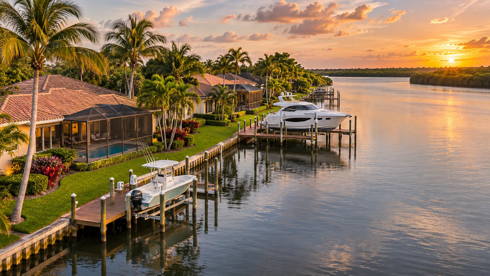
Yachts and waterfront properties · Jeannie Jacobson, RE/MAX Gold
A guide to buying on the water in Port St. Lucie and the Treasure Coast: how the canals and the St. Lucie River reach the Atlantic, which bridges limit your boat, what a dock and seawall need, and how Jeannie Jacobson helps you compare homes by the water they sit on, not just the photos.
The short answer
Not directly. Port St. Lucie sits inland on the North Fork of the St. Lucie River, and the beach is across the Indian River Lagoon on Hutchinson Island. A boat from a Port St. Lucie dock reaches the Atlantic by running down the North Fork to Stuart and out the St. Lucie Inlet, or north through the Indian River Lagoon to the Fort Pierce Inlet. Whether a specific home has that access depends on its canal, its depth and the bridges on the way.
That last sentence is why waterfront in Port St. Lucie needs a closer read than waterfront almost anywhere else in Florida. The same listing phrase, "on the water", can describe a home with a private dock and a direct run to the ocean, a home on a freshwater canal that never meets salt water, or a home that looks at a stormwater pond. They are different purchases with different prices, insurance costs and maintenance, and this page shows you how to tell them apart.
Know what "waterfront" means
Waterfront property in Port St. Lucie runs along a spectrum, from homes with a direct boat route to the ocean to homes that simply face water. Price, insurance, dock rules and resale follow the water type, so start here before you compare kitchens.
A tidal, saltwater canal that connects to the St. Lucie River with no water control structure in the way. A private dock or lift behind the house, and a route to the inlets limited only by bridges and depth.
Verify: route, low tide depth, bridgesHomes directly on the North Fork or the main St. Lucie River. Wide water and long views, with the rules of the North Fork Aquatic Preserve and the manatee speed zones on the North Fork.
Verify: preserve rules, dock length, exposureIndian River Lagoon frontage and Hutchinson Island, where condos and homes sit between the lagoon and the Atlantic. The beach is the draw; boating often runs through a marina or a shared dock.
Verify: condo rules, slips, storm exposureMany Port St. Lucie canals are drainage and flood control channels. Some sit behind gates such as the S-49 structure on the C-24 canal. Paddling and small boats, but no passage to the river.
Verify: is there a structure downstream?Stormwater lakes inside communities and golf course ponds. Pleasant views and wildlife, usually no docks, and a different price bracket from navigable waterfront. Listings sometimes call these "water views".
Verify: what the HOA allows on the waterPort St. Lucie grew around a network of canals dug for drainage, and the St. Lucie River itself changed over time: historically a freshwater river, it became an estuary after the St. Lucie Inlet was opened in 1892, fresh upstream and salty toward the ocean. That history is why two canals a few streets apart can behave so differently. There is no official city map that labels every residential canal as fresh or salt, so the honest rule is to verify each lot: trace the canal downstream on a chart, look for gates and weirs, and test the depth at low tide.
Port St. Lucie ocean access
When a listing says "ocean access", this is the trip it means. Follow the route from a Port St. Lucie canal to the open ocean, with the official depths, bridges and rules on the way.
Two practical notes for anyone weighing a home against this route. First, time on the water is set as much by speed zones as by distance: a home far up the North Fork can be a long, slow trip from the inlet, while a home in southeast Port St. Lucie near the Stuart line is closer to open water. No official source publishes a door-to-inlet running time, so ask the seller and test the run yourself before you commit. Second, the tide matters both ways. Low tide limits what can float in a shallow canal, and high tide reduces the room under every bridge, which is why serious boaters plan the trip around the tide table rather than the clock.
No fixed bridges? Check the numbers
Air draft is the height of your boat above the waterline, including the tower, antennas and outriggers. Set yours, pick a route, and watch it pass, or stop, at every bridge between Port St. Lucie and the ocean.
Charted vertical clearances at mean high water, from NOAA U.S. Coast Pilot 4 (2026) and the U.S. Coast Guard rule for the FEC bridge (FR Doc 2025-17888). For planning only; always check current charts and Coast Guard notices.
Sport fishing yachts with tuna towers and sailboats are the boats most often limited by bridges. On both routes from Port St. Lucie, the fixed bridges clear 65 to 66 feet at their charted clearance, so a boat taller than that cannot reach the ocean from here by water.
The railroad bridge in Stuart stays open except for trains and, under a 2025 Coast Guard rule, opens for 10 minutes at the top of every hour during the day. The Old Roosevelt bascule also opens for boats taller than its 14 foot closed clearance.
Clearances are charted at mean high water. Low tide gives a little room; storms and king tides take it away. The bridges inside Port St. Lucie, on Port St. Lucie, Prima Vista and Southbend boulevards, also matter upstream, and we could not find their clearances in an official source, so verify them for your lot.
Homes with a boat dock in Port St. Lucie
A deep water home is only deep at the right moment of the tide and only useful if your boat can reach the inlet. These are the eight checks Jeannie lines up for every buyer who owns, or plans to own, a boat.
Listings quote depth without saying when it was measured. Sound the slip and the canal at mean low water, the number that decides whether your keel or props touch bottom on an ordinary afternoon.
Compare your air draft with every fixed bridge between the dock and the inlet, including the ones inside Port St. Lucie. The 65 foot fixed bridges at Stuart set the ceiling for the St. Lucie Inlet route.
A 40 foot boat needs more than a 40 foot dock: it needs room to turn in the canal, clearance from the neighbor's dock and a channel wide enough to pass other boats.
Lifts are rated by weight. Compare the rating with your boat's weight with fuel and gear, and have the cables, motors and cradles checked. A tired lift is a near-term replacement.
Look for cracks in the cap, leaning panels, sinkholes or soil loss behind the wall and blocked weep holes. Florida has no routine inspection law for residential seawalls, so hire a marine contractor or engineer during due diligence.
Ask for the permits and final inspections for the dock, lift and seawall. Work done without them can become your problem at resale, at insurance renewal or when you want to rebuild.
Shore power, a water spigot, dock lighting and a safe walkway change how you use the boat. Note the amperage and the condition of the wiring at the pedestal.
Know where the boat goes when a storm comes: on the lift, tied in the canal or hauled out. Your boat insurer may have its own requirements, so ask before you close.
Dock permits in Port St. Lucie
Thinking about adding a lift, extending a dock or replacing a seawall after you buy? The approval path depends on where the home sits, so read it before you price the project into your offer.
Inside city limits, the City of Port St. Lucie Building Department publishes a dock permit checklist among its permit checklists. In unincorporated St. Lucie County, the County's building checklists apply instead. Either way, the local permit is not the only approval you need for work over the water.
In Martin County, for homes in Stuart or Palm City, the residential seawall checklist asks for a recent survey with elevations and the flood zone, signed and sealed plans, and the state permit or exemption for any construction on the water.
Many Port St. Lucie canals are part of the South Florida Water Management District's flood control system, including the C-23 and C-24 canals. Work along district canals and structures can need the district's approval in addition to local permits.
Construction in state waters needs an FDEP permit or a written exemption. Some small private single-family docks qualify for an exemption under the state rules, but the North Fork is an aquatic preserve, where reviews are stricter and simplified self-certification may not be available. Confirm with FDEP before you assume a new dock or lift is approvable.
Structures in navigable waters can also need federal authorization. Your marine contractor normally coordinates this with the state application, but it adds time, so plan larger projects well ahead.
Flood insurance and disclosure
Insurance can change the monthly cost of a waterfront home more than the interest rate. Get quotes during your inspection period, not after it.
Since FEMA's Risk Rating 2.0 took full effect on April 1, 2023, National Flood Insurance Program premiums are priced on the individual home rather than the flood zone alone. Flood zones still matter: they decide whether a lender requires flood insurance and which building rules apply when you renovate or rebuild. By law, most annual NFIP rate increases are capped at 18 percent.
Florida sellers must give buyers a flood disclosure at or before signing the contract, under section 689.302 of the Florida Statutes, in effect since October 1, 2024 and expanded on October 1, 2025. The form reminds buyers that standard homeowners policies do not cover flooding and asks the seller three things.
The St. Lucie River today
Buyers ask about algae and Lake Okeechobee releases, and they should. Here is what the official sources say, without the hype in either direction.
Freshwater that flows from the C-23 canal into the North Fork each year, according to the City of Port St. Lucie. The City's McCarty Ranch project aims to keep up to 21 percent of that excess discharge out of the river.
Planned capacity of the EAA Reservoir south of Lake Okeechobee, over 78 billion gallons, built to reduce harmful discharges to the St. Lucie and Caloosahatchee estuaries. Target completion: 2029.
The Army Corps lock at Okeechobee Waterway Mile 15.1, one of the structures used to release Lake Okeechobee water when conditions require. Releases can create strong currents east of the lock.
The St. Lucie River is an estuary, and its health swings with rainfall, with runoff from its own basin and with releases from Lake Okeechobee through the C-44 canal and the St. Lucie Lock. Some years bring long stretches of clear water; others bring discharges and algae warnings. Conditions change from season to season, so the best guide is current data rather than memory.
Before you buy, look at the South Florida Water Management District's operations reports and the Army Corps' Lake Okeechobee release updates, and ask neighbors how the canal behaved in the last wet season. Homes on the North Fork are upstream of the C-44 releases, but the C-23 and C-24 canals bring their own fresh water and nutrients.
Large projects are under way. The C-44 Reservoir and Stormwater Treatment Area in Martin County were completed in 2021, and the EAA Reservoir target moved up to 2029 under a 2025 agreement. Neither erases the risk, and no one can promise clear water every summer, but the direction of public investment is toward fewer harmful discharges.
For a waterfront purchase, water quality is part of the decision the same way flood insurance is: weigh it, ask about it and price it, rather than ignore it or let it scare you off a home that fits everything else you want.
Boating rules on the North Fork
Florida rule 68C-22.008 sets the speed limits on the St. Lucie County waters you will use most. They are posted on the water and they apply year round on the North Fork.
Slow speed means the boat is fully off plane and settled in the water, with no wake that could injure a manatee. In practice, a home far up the North Fork adds idle and slow time to every run to the inlet, which is part of the trade-off between a quiet upriver setting and a quick trip to the ocean.
On the Indian River Lagoon side, St. Lucie County has many idle and slow speed areas, with seasonal slow speed from November 15 to April 30 in parts of the Intracoastal Waterway near the Fort Pierce Inlet. Martin County's St. Lucie River zones are set by a separate rule, 68C-22.024. Check the Florida Fish and Wildlife Conservation Commission maps for the exact boundaries before your first trip.
Boat ramps and marinas
Plenty of boat owners buy a dry home and trailer to a ramp or rent a slip. It can be the smarter trade if the right house is a street away from the water.
500 SE Oakridge Drive. Direct access to the river and the ocean, open daily from 8 a.m. to sunset, on about 9 acres with roughly 74 trailer spaces, pavilions and ADA restrooms.
2200 SE Veterans Memorial Parkway. Lighted car and trailer parking, a handicapped boat entry lift available through staff, and the Riverwalk Boardwalk with fishing along the river.
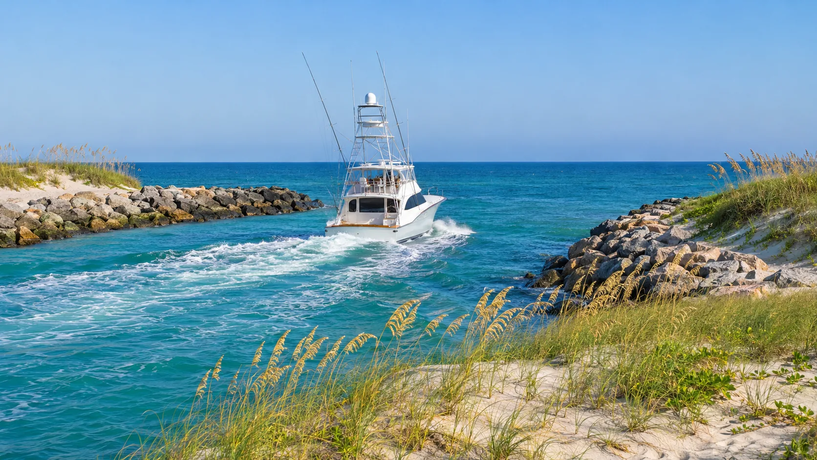
Both are listed by the Florida Aquatic Preserves program as access points to the North Fork St. Lucie Aquatic Preserve. Call for current slips, dry storage and fuel.
NOAA's Coast Pilot places the channel to the municipal marina at Intracoastal Waterway Mile 966.5, close to the Fort Pierce Inlet, and notes a megayacht service and refit center in Fort Pierce. Larger yachts often base here for the inlet depth.
A dry home near a good ramp avoids the cost of a seawall, dock and lift, often comes with lower flood insurance, and still puts you on the river in minutes. The trade is the daily ritual: hitching, launching and washing down the trailer.
If the community allows it, check whether you can keep a boat on the property, because many HOAs restrict boats and trailers in driveways. Hours and amenities at ramps and marinas can change, so check with each facility before you plan around it.
Where the water is
Each area below trades boating access, beach access, price and quiet differently. Use it to decide where to look first, then let the lot-by-lot checks above decide the house.
Wide river frontage and long sunset views, with neighborhoods such as Sandpiper Bay and River Park along the North Fork. Expect aquatic preserve rules for docks and slow speed stretches on the way downriver.
Canal Pointe, Southbend Lakes and other neighborhoods laced with canals and tributaries off the St. Lucie River. Some canals are tidal with ocean access and others are freshwater, so this is where lot-by-lot verification matters most.
Homes and river condos in the southeast corner of the city sit closest to the Stuart bridges and the run to the St. Lucie Inlet, including condo communities such as Tarpon Bay Yacht Club on SE Pruitt Road.
The barrier island between the Indian River Lagoon and the Atlantic: oceanfront condos, beach access and lagoon-side marinas, with condo association rules and building inspections to read before you buy.
Stuart sits at the junction of the forks, a short run from the inlet. In Palm City, Harbour Ridge Yacht and Country Club sits on the North Fork with its own marina and golf.
A private gated community at the south end of Hutchinson Island, at the St. Lucie Inlet, with its own marina and club. Inlet proximity is the draw for offshore fishing and cruising.
Lagoon frontage and a short causeway to the beach, between Port St. Lucie and Stuart. A middle ground for buyers who want both the water and a walkable town feel.
The deeper of the two inlets, a city marina and marine services. Waterfront here leans toward the lagoon and the inlet, and it suits larger boats that need depth.
Buying waterfront property
Waterfront deals fall apart on surprises that could have been found in week one. This sequence moves the expensive questions to the front.
Length, beam, draft and air draft, or the boat you plan to buy. Every other check is measured against it.
Trace the water from the dock to the inlet: structures, bridges, speed zones and the time it takes.
"Ocean access", "no fixed bridges" and "deep water" are descriptions, not guarantees. Ask how each was measured.
Measure at the slip and in the canal at low tide, ideally with your marine contractor or captain present.
A marine contractor or engineer, separate from the home inspector, during the inspection period.
Dock, lift and seawall permits and final inspections, plus the survey and any elevation certificate.
Flood, wind and the homeowners policy, before your inspection period ends, using the seller's flood disclosure.
HOA or condo rules on docks, lifts, boat size, rentals and storage, which can be stricter than the city's.
Before you write the offer
Sellers who live on the water know things no listing says. Ask in writing, keep the answers with your contract file, and tick them off here as you go.
0 of 12 answered
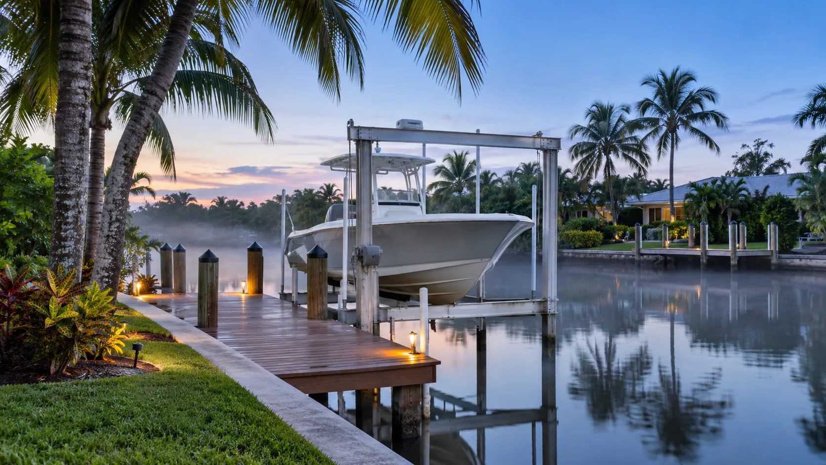
Selling a waterfront home
Boating buyers shop by route, depth and dock before bedrooms. A waterfront listing that answers those questions up front attracts the buyers who will pay for them, and it holds up through inspection.
Timing matters too. Many waterfront buyers come from up north and shop in the cooler months, and many boaters want to see the house from the water before they make an offer. A listing ready for a dock-side showing, with the lift working, the seawall cleaned and the route documented, turns that visit into a decision.
Port St. Lucie waterfront condos for sale
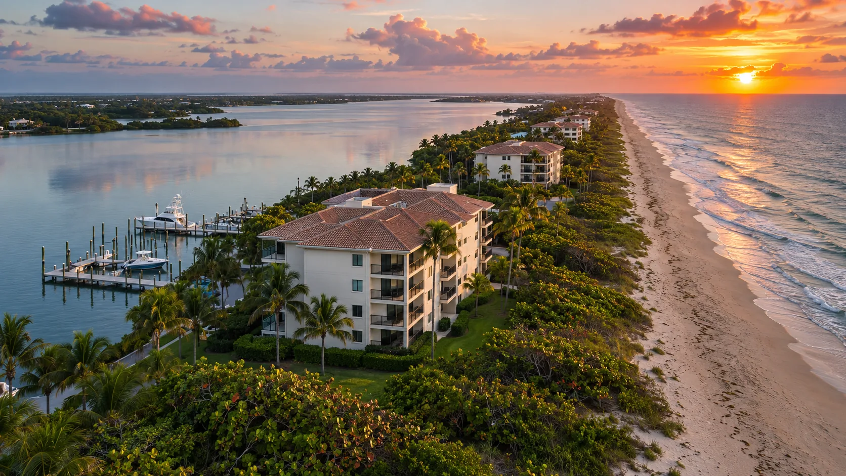
A condo on Hutchinson Island or on the river gives you the water without a seawall of your own to maintain, but you share the building's costs and decisions.
With a waterfront condo, the building is the inspection. Florida's milestone inspection law applies to condominium buildings three stories or taller, and the results, along with the association's reserves and any special assessments, shape what you will pay after closing. Ask for the latest inspection reports, the budget and the meeting minutes early.
Check the rules that matter to a boater: whether the association has slips or a marina, how slips are assigned, the maximum boat size and whether rentals are allowed. On the island, compare the drive to the beach, the lagoon side and the storm exposure of each building.
Working with Jeannie
Jeannie Jacobson is a Realtor with RE/MAX Gold in Port St. Lucie, licensed in Florida, working in English and Spanish across Port St. Lucie and the Treasure Coast. Here is how clients describe the experience.
Jeannie is an amazing real estate professional. She is responsive, reactive and was very inquisitive regarding our needs. She is also very patient, but quick to react to an opportunity, scheduling, and contract negotiations.
Jeannie was fantastic! She was very knowledgeable about the area and gave an excellent tour. She was thoughtful, resourceful, and clearly knew the area well and what she was doing.
As Canadian buyers, Jeannie walked us through the process of purchasing Florida real estate, making it as painless as possible. Even when Jeannie doesn't have the answer, she will always try to connect you with someone who does. She was always available and help us close on a complicated transaction.
Questions buyers ask
Have a question about a specific canal, dock or boat? Ask Jeannie directly.
No. Port St. Lucie sits inland along the North Fork of the St. Lucie River. The Atlantic is east of the city, across the Indian River Lagoon and Hutchinson Island. Boats reach the ocean by running down the North Fork to Stuart and out the St. Lucie Inlet, or north through the lagoon to the Fort Pierce Inlet. A home has ocean access only if its canal connects to that route without a blocking structure.
The city itself is inland on the river, so its waterfront is river and canal frontage rather than ocean beach. The nearest Atlantic beaches are on Hutchinson Island, across the Indian River Lagoon, reached by the causeways at Jensen Beach and Fort Pierce. That short drive is why many buyers pair a Port St. Lucie home with regular beach days on the island.
Some do and some do not. Tidal canals that connect to the St. Lucie River without a gate or weir in between have ocean access, limited by depth and bridges. Many other canals are freshwater drainage channels managed for flood control, such as those behind the S-49 structure on the C-24 canal, and boats cannot pass from them to the river. Verify each lot by tracing the canal downstream.
Both exist, and there is no official city map that labels every residential canal. Canals connected directly to the tidal St. Lucie River carry brackish or salt water, while canals behind water control structures stay fresh. Look for gates or weirs downstream, ask the seller and neighbors, and check the water level behavior: a tidal canal rises and falls with the tide.
On the St. Lucie Inlet route, the fixed Roosevelt Bridge on US-1 in Stuart and the Evans Crary Bridge on A1A both have a charted vertical clearance of 65 feet, according to NOAA's Coast Pilot. The fixed bridges on the Indian River route to the Fort Pierce Inlet clear 65 to 66 feet. Bridges on Port St. Lucie roads over the North Fork also matter for homes upstream, so verify them for the specific lot.
Yes, if its mast is below the fixed bridge clearances on the route, which are 65 feet at mean high water at Stuart and on the A1A bridge, with a margin for tide and conditions. A home upstream of the Port St. Lucie road bridges over the North Fork also needs those bridges to clear the mast. Sailors should confirm every bridge between the dock and the inlet before buying.
NOAA's Coast Pilot describes the North Fork as about 0.75 mile wide with an even bottom of 10 to 12 feet. Depth near the shore, along docks and inside residential canals is often much less, and it changes with the tide and with shoaling. The number that matters for a home is the depth at mean low water at the slip and along the canal, measured on site.
It demands caution. NOAA's Coast Pilot calls the St. Lucie Inlet dangerous and particularly hazardous to small boats not designed for open seas, reports tidal currents of up to 7 knots and notes that ground swells can make passage impossible. Many boaters check conditions before every crossing or use the deeper Fort Pierce Inlet, about 20 miles north, when seas are up.
It means the boat route from that dock to the inlet passes only opening bridges or none at all, so mast and tower height are not limited by a fixed span. From Port St. Lucie, both routes to the ocean pass fixed bridges of about 65 feet at Stuart or on the Indian River, so homes advertised that way are usually closer to the inlets. Verify the claim on a current NOAA chart.
Air draft is the height from the waterline to the highest fixed point of the boat, such as the top of a tuna tower, hardtop, antenna or mast. It decides which bridges a boat can pass under. Compare it with the charted vertical clearance of each fixed bridge on your route, and keep a margin, because clearance shrinks at high tide and in storms.
Under a U.S. Coast Guard rule published in September 2025, the Florida East Coast railroad bridge in Stuart stays open to boats except when trains, inspections or maintenance require it to close. From 6 a.m. to 8 p.m. it may not stay closed more than 50 minutes in any hour, and it opens for a fixed 10 minutes at the top of each hour. When closed it clears about 6 feet.
Yes. Inside city limits, the City of Port St. Lucie Building Department issues dock permits, and work over the water also needs a Florida Department of Environmental Protection permit or written exemption. Canals that are part of the South Florida Water Management District system and federal waters can add more approvals. The North Fork is an aquatic preserve, where state review is stricter.
It depends on how often you boat and your budget. A waterfront home with a dock saves launch time and adds the view, but it comes with seawall, dock and lift upkeep and usually higher flood insurance. A dry home near a ramp such as C-24 Canal Park or Veterans Park at Rivergate costs less to own, if the community lets you keep a boat and trailer.
It depends on the lift's rated capacity, the type of lift, the power and controls, the pilings and the site, plus permits and installation. Prices change with materials and contractor demand, so the reliable number is a written quote from a licensed marine contractor for your boat's weight and your dock. If a home already has a lift, ask its capacity, age and service history.
A lender requires flood insurance if the home is in a high-risk FEMA flood zone, and many owners of waterfront homes outside those zones still buy it, because standard homeowners policies do not cover flooding. Under FEMA's Risk Rating 2.0, NFIP premiums are priced home by home using factors such as distance to water, elevation and storm surge. Get a quote before your inspection period ends.
Under section 689.302 of the Florida Statutes, the seller must give a flood disclosure at or before the contract is signed. It states that homeowners insurance does not cover flood, and it asks whether the seller knows of flood damage during ownership, filed a flood insurance claim, or received flood damage assistance such as from FEMA. The law took effect in 2024 and was expanded in 2025.
Yes. Florida rule 68C-22.008 sets year-round slow speed areas on listed parts of the North Fork in St. Lucie County, a 30 mph limit from Greenridge Point to Port St. Lucie Boulevard and a 25 mph limit north of Port St. Lucie Boulevard, including Five Mile and Ten Mile Creeks. Martin County's zones on the river follow a separate rule. Zones are posted on the water.
The City runs C-24 Canal Park at 500 SE Oakridge Drive, with four ramp lanes and direct river and ocean access, open from 8 a.m. to sunset, and Veterans Park at Rivergate at 2200 SE Veterans Memorial Parkway, with three ramps open 24 hours and an accessible boat entry lift. Check the City's parks pages for current hours before you go.
It can. The Army Corps uses the St. Lucie Lock and other structures to release Lake Okeechobee water when conditions require, which can bring fresh water, nutrients and algae into the estuary. Local runoff from the C-23 and C-24 canals also affects the North Fork. Projects such as the EAA Reservoir, targeted for 2029, aim to reduce harmful discharges. Check current SFWMD and Army Corps reports before buying.
Your next step
Tell Jeannie about your boat, how often you want to be on the water and whether the beach or the river matters more. She will narrow the canals, neighborhoods and listings before you spend a weekend driving between docks.
This site is protected by reCAPTCHA and the Google Privacy Policy and Terms of Service apply.